High School
Unit - Natural Hazards
Unit Description
This 8-day unit introduces high school Earth Science students to various natural hazards that impact human life and property, including earthquakes, extreme weather, volcanic eruptions, and mass movements. Students explore the science behind these events and their societal impacts through hands-on activities, simulations, and collaborative projects. The unit culminates in a creative final project where students design a children’s book or comic, integrating scientific knowledge and personal research to educate a younger audience about a natural hazard and its mitigation strategies.
Driving Question: How do natural hazards affect human life, and what can we do to mitigate their impacts?
Grade/Level: 9th-10th grade
Unit Materials
Unit - Climate Change in my Community
Unit Description
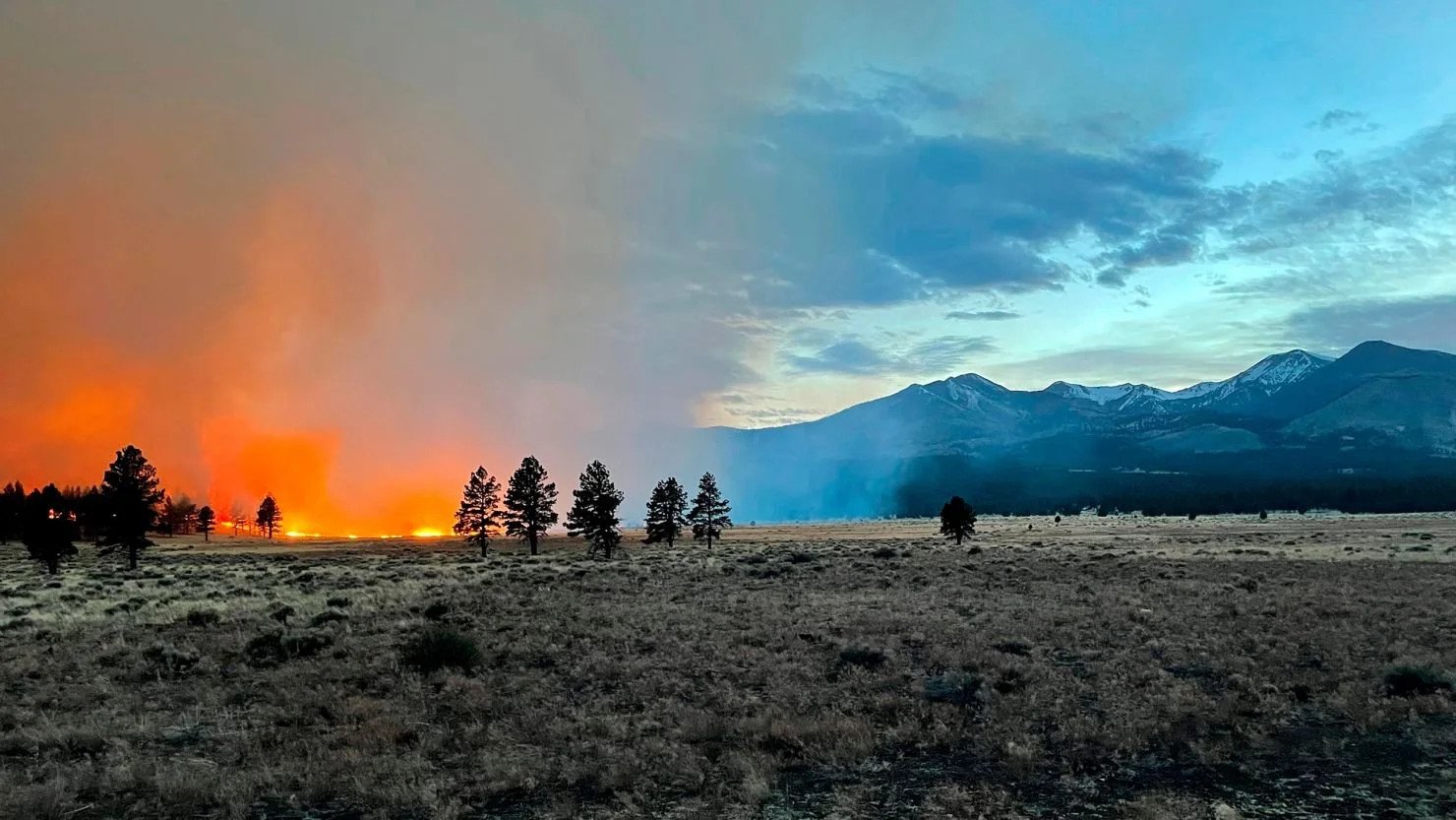
This 10-12 day unit engages 11th-12th grade Earth Science or AP Environmental Science students in exploring climate change through hands-on experiments, data analysis, and critical evaluation of online sources. Students identify greenhouse gases' effects on the atmosphere, assess data reliability, and create a final public-facing product using ArcGIS Online Story Maps. Grounded in the real-world context of Flagstaff’s increased wildfires, reduced snowfall, and rising summer temperatures, this data-driven unit emphasizes scientific practices and research methods. While designed for Flagstaff, the anchoring event and ArcGIS data can be adapted for other regions. Students should have prior knowledge of orbital cycles, solar radiation, and Earth’s oceanic and atmospheric processes for successful implementation.
Driving Question: How can we use data to evidence the extent to which climate change is impacting your community?
Grade/Level: 11th-12th grade
Higher Education
Virtual Field Experience - Shaping the Surface
Virtual Field Experience Description
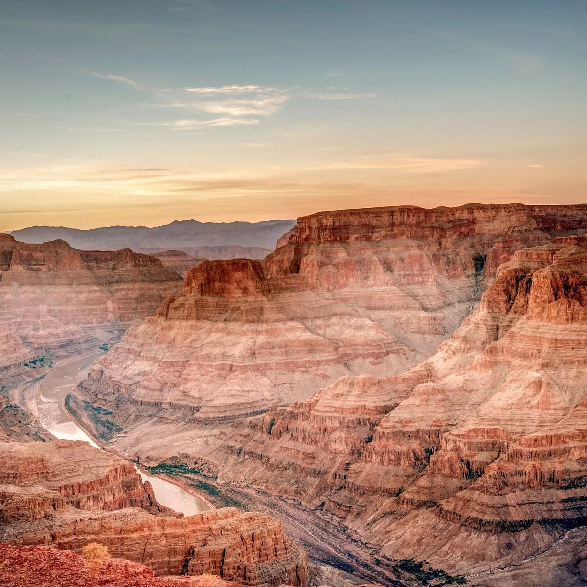
Shaping the Surface is a geomorphology-focused virtual field experience for introductory geoscience students that integrates geoscience and planetary science perspectives. The students investigate the key question, "How can understanding the processes that shape Earth's surface help us understand the geologic history of other planets?", by visiting Meteor Crater, Sunset Crater, Grand Canyon, and the Iceland Rift Valley. At these locations, students investigate the process of impact cratering, volcanism, gradation, and tectonics by first making ground and remote observations of the morphology of the landform from a geoscientist's perspective, then making remote observations using shaded relief maps of Mercury, Venus, and Mars from a planetary scientist's perspective. Students will build skills in landform identification, classification, and estimating the relative age to make a final interpretation of the dominant surface processes of each of the terrestrial planets in our solar system.
Driving Question: How can understanding the processes that shape Earth’s surface help us better understand the geologic history of other terrestrial planets in our solar system?
Grade/Level: Introductory university students in 100-200 level courses.


